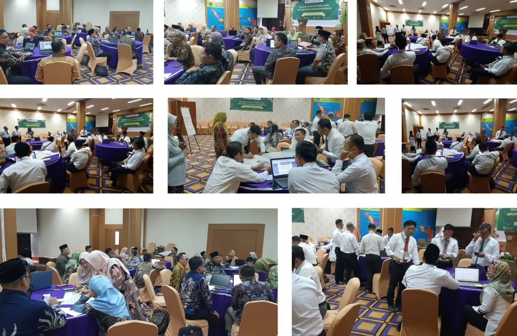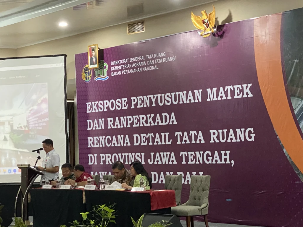
Technical Assistance; Assist Ministry of Public Work (Coordinating Body of National Spatial Planning/BKPRN) in the acceleration of District/City RTRW throughout Indonesia that will be made as baseline in development implementation in Indonesia so that it would be more directed and consistent in complying with Spatial Plan; Data collection survey encompasses administrative area; physiographic; demography; economy and finance; availability of basic infrastructures and facilities; land usage; spatial allotment; disaster-prone area; and basic map of topography and thematic maps required including land usage map, spatial allotment map, and disaster-prone area map; Data collection was undertaken through interview, questionnaire distribution and visit to the institutions; Data processing and analysis: the technique of environment supporting capacity and carrying capacity that was determined through strategic environment study; and the technique of inter-district area interrelatedness analysis; Formulation of plan conception; Undertake assistance in legislation process at district, provincial and central levels.