The objective of this project was to embody secure, comfortable and sustainable space in border area and increase the state defense and security services and state border area development driver.
The scope of the project were:
- Preparation stage that encompassed:
- KAK Study, methodology development, detailed work plan compilation;
- Identification of data and information needs related to area planning compilation; and
- Undertake literature and legal studies related to area planning compilation.
- Data compilation stage, covered:
- Undertake the collection of primary and secondary data;
- Undertake site visit to planned region and stay in the planned area for at least 1 months to undertake discussion with the community and implemented by at least 4 compiling team members and the compiling team can rent a house as the planning base/studio.
- Undertake problem identification in state border area of the planned region;
- Undertake identification of stakeholders that are involved in state border area planning; and
- Undertake site visit /survey in coordination with regional parties.
- Analysis stage, encompassed:
- Formulation of the objective: objective analysis, nurturing ability analysis, planned region position analysis, sectoral and regional policy effect analysis
- Compilation of infrastructure network plan: development policy analysis, regional nurturing ability analysis, regional form and structure analysis, facilities and infrastructure analysis, movement analysis, development alternative, fresh water system analysis, water needs projection analysis, fresh water service system alternative
- Determination of environment carrying capacity and environment capacity through strategic environment study: basic physical analysis, guided physical analysis, development alternative
- Activity and land use provision Analysis: analysis of interrelated between zones and activities, activity characteristic analysis
- Spatial utilization intensity Analysis: utilization intensity analysis
- Spatial analysis basic coefficient of buildings, coefficient analysis of building floor, building height analysis, green base coefficient analysis
- Spatial data Analysis that would produce thematic maps, among other: orientation map, administration map, land (ownership) status map, land use map, building plot distribution map, disaster-prone map, population distribution map, land suitability map, topographic map, slope map, climatology map, geological map, riverside map/river area, road network map, telecommunication network map, energy network map, fresh water network map, drainage network map, waste map, other infrastructure map (disaster evacuation, garbage, urban utilities, etc.), facility distribution map (education, worshipping, RTH, health, sport, social culture, bus stop, bus station, airport, station, harbor, parking lot, crossing, tourism), building order condition map (land use intensity, building mass plan, building condition), other thematic maps that was assumed worth displaying in map album.
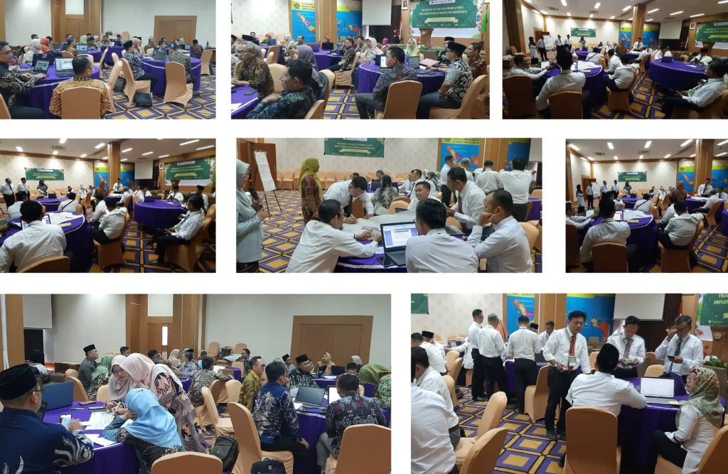
- Undertake discussions in the view of the compilation of Border Area Detailed Plan in Nunukan;
- Prepare RBI map for planned region;
- Prepare image map for planned region with data recording period of between January 2014 to July 2015, and undertake image map processing to be able to use further in plan compilation;
- In the map processing, coordination with authorized institutions was undertaken in the map provision at least 3 times with the coordination of Supervision Team;
- Undertake the survey in the view of geodetic/orthorectification correction in the field on the planned location that has been stipulated with supervising team coordination and authorized institution direction in map supply;
- Undertake the compilation of environment study for stipulated planned region;
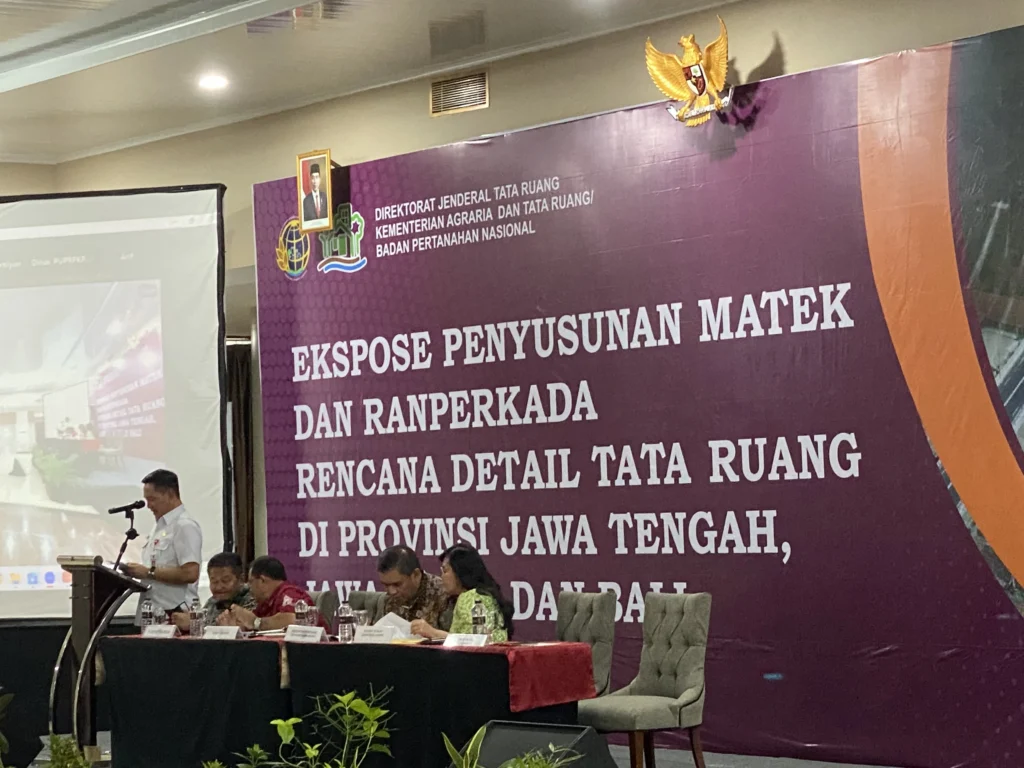
- Undertake technical material compilation; Compilation of Border Area Detailed Plan in Nunukan in stipulated planned region; undertake the compilation of state border area detailed plan including zoning regulation in the stipulated planned region; and
- Implementation of activity with coordination and involve related province SKPD.