This study objective is to identify potential areas and priority sectors to be developed in the National Strategic Area associated with the construction of the Sunda Strait Bridge. This study is expected to produce technical materials or academic studies that will be the main input in the formulation of detailed spatial plans in the area around the Sunda Strait Bridge.
The scope of this study includes:
- Identification of Potential Areas related to Sunda Strait Bridge Development, including:
- Collecting primary data and information: field observations and observations, regional potentials, key sectors, and baseline maps related to the development of potential areas of Sunda strait bridges;
- Collecting data and secondary information from relevant sectors and stakeholders on the development of potential areas of Sunda Strait Bridge, such as among others data on regional administration, regional economic data, population data;
- Conducting analyzes of the data obtained, among others: analysis of regional development, such as input output analysis, shift share, etc.), physical analysis / land capability, analysis of land change, land tenure analysis, environmental analysis , and socio-cultural analysis;
- Mapping potential developed areas and priority sectors for investment;
- Preparation of Spatial Technical Material for Area Around The Legs of Sunda Strait Bridge.
- Primary data and information collection of regional spatial plans around the Sunda Strait Bridge, which requires minimal data as follows: a). Administrative and policy area data (District / City Spatial Plans, guidelines and guidance on spatial planning, long-term district / city development plan, district / municipal term development plan, etc.); b). Physiographic data; c). Population data; d). Economic and financial data; e). Data on availability of basic infrastructure and facilities; f). Space design data; g). Data on land use, utilization and utilization; h). Building intensity data; i). The basic map of the earth, and the thematic map needed;
- Survey of the location of the area projected as the location of the foot of the Sunda Strait Bridge;
- Analysis of data and information requiring analysis techniques include: a). Analysis of environmental carrying capacity and carrying capacity; b). Regional analysis (inter-regional linkages); c). The interconnection of the space components; d). Area design; e). natural and physical resources; f). socio-cultural; g). population; h). economic and superior sectors; i). development policies and strategies; j). institutional; k. development financing; l). handling of areas and buildings;
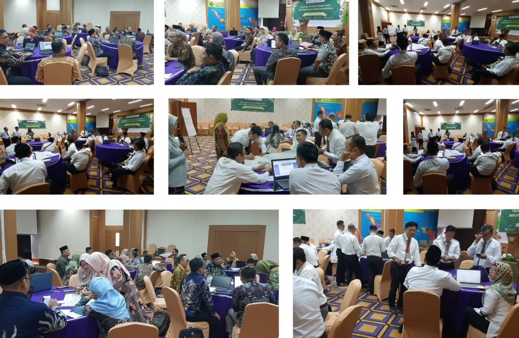
- Intensive discussions and focused group discussions with local government, sectoral agencies, and related stakeholders in the framework of preparation of technical materials detailed plan of strategic space of Sunda Strait strategic area by presenting at least 4 sources
- Strategic area development maps.
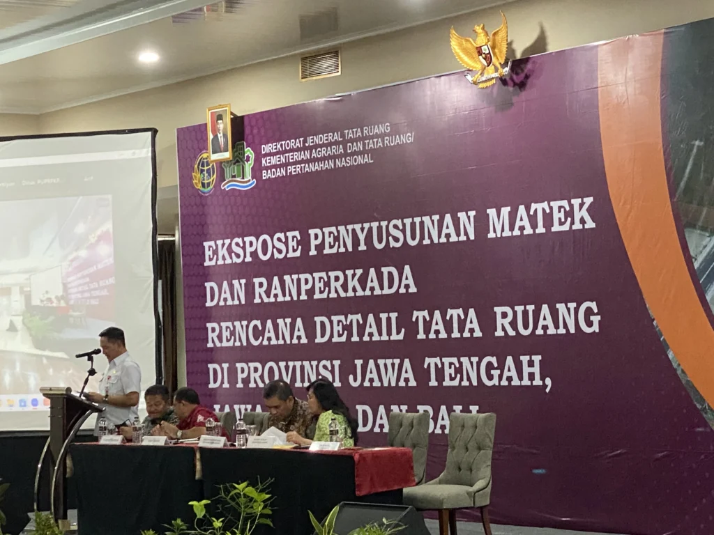
- Seminar / workshop.