The purpose of this activity is to realize the space in the safe, convenient and sustainable border area and to improve the improvement of state defense and security services as well as to encourage the development of border areas of the country.
The scope of this activity includes:
a. Data compilation phase, including: 1). collecting primary and secondary data; 2). conducting field trips to the planning area by staying in the planning area for approximately 1 month for community discussions and carried out by at least 3 members of the drafting team and the drafting team can rent the house as a base / studio planning to identify problems in the border areas of the country in area planning; 3). identify the stakeholders involved in the arrangement of the state border areas in the planning area; 4). identify spatial use in the planning area; and 5). conduct field visits / surveys in terms of coordination with local authorities.
b. Stage analysis, including: 1). Formulation of objectives: objective analysis, growth capability analysis, analysis of regional planning position, analysis of sectoral and regional policy impacts; 2). Preparation of infrastructure network plan: analysis of development policy, analysis of regional growth ability, analysis of area shape and structure, analysis of facility and infrastructure condition, movement analysis, alternative development, water supply system analysis, water demand projection analysis, alternative drinking water service system; 3). Determination of environmental carrying capacity and capacity through strategic environmental assessment: basic physical analysis, fiscal analysis built, alternative development; 4). Analysis of terms of activity and land use: analysis of linkages between zones and activities, analysis of activity characteristics; 5). Space intensity intensity analysis: spatial intensity utilization analysis, building coefficient analysis, building floor coefficient analysis, building height analysis, green coefficient analysis; and 6). Analysis of spatial data that will produce thematic maps, among others: orientation map, administrative map, land status map, land use map, square plot distribution, disaster prone map, determination of population distribution, land suitability map, topography map , slope map, climatological map, geological map, river basin / river basin map, road network map, telecommunication network map, energy network map, drinking water network map, drainage network map, wastewater map, other infrastructure map (disaster evacuation, garbage, urban utilities, etc.), map of distribution of facilities (education, worship, green space, health, sport, socio-culture, shelters, terminals, airports, stations, harbors, parking, ferry, tours), maps of building- land, building mass system, building condition), other thematic maps that are deemed necessary to be displayed in a map album.
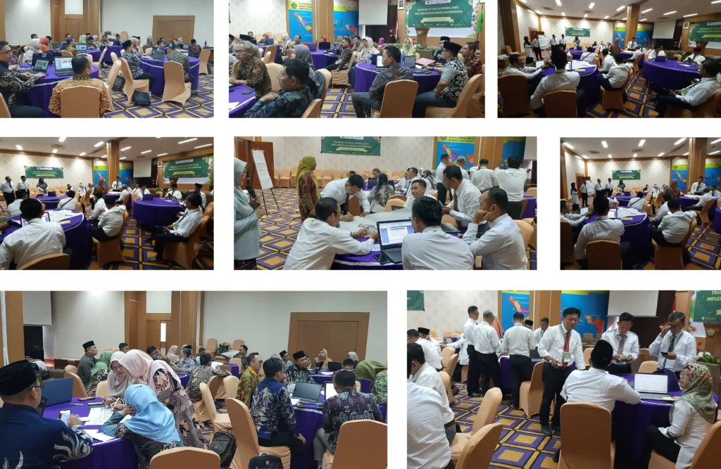
c. Conducting discussions in the framework of Preparation of Detail Plan of Border Area in Sei Manggaris
d. Prepare RBI Maps for the planning area;
e. Setting up an image map for the planning area with data recording time between January 2015 and December 2015 and processing image maps for further use in the preparation of the plan;
f. In the processing of maps, coordination with authorized agencies in the provision of maps at least 2 times in coordination by the Supervision team;
g. Conducting a survey in the case of geodetic correction / orthorectification in the field at the designated site location with coordination of supervision team and direction of authorized institution in providing maps;
h. Conduct preparation of environmental studies for designated areas;
i. Conduct preparation of technical material of Compilation of Detail Plan of Border Area in Sei Manggaris in designated area;
j. undertaking the drafting of detailed plans for the arrangement of state border areas including zoning regulations in designated areas; and
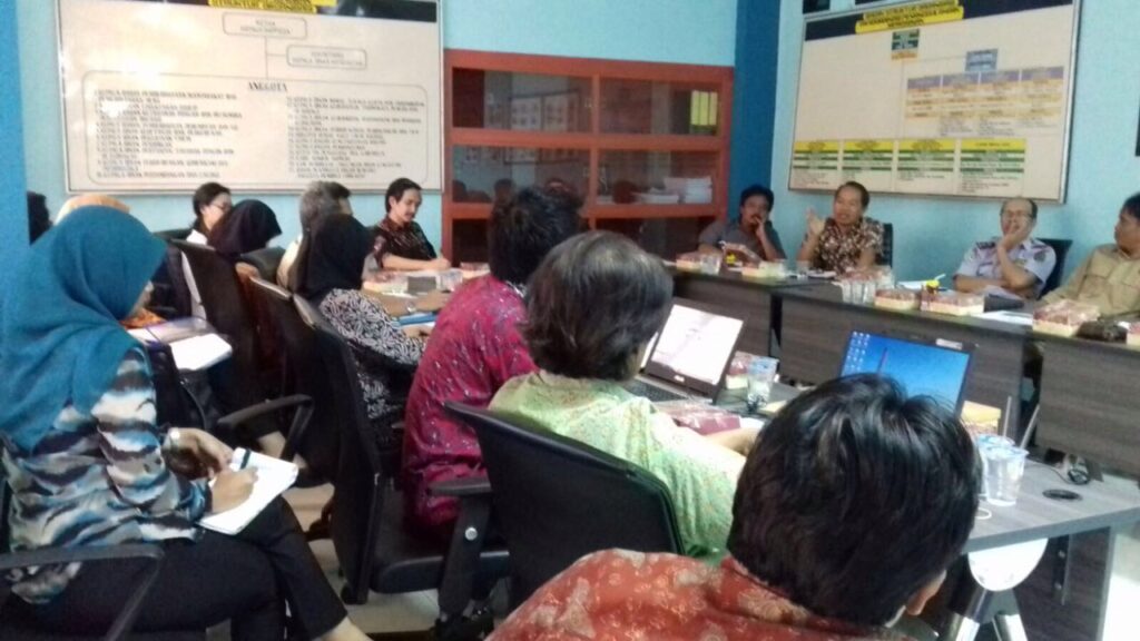
k. Implementation of activities with coordination and involving related provincial SKPD