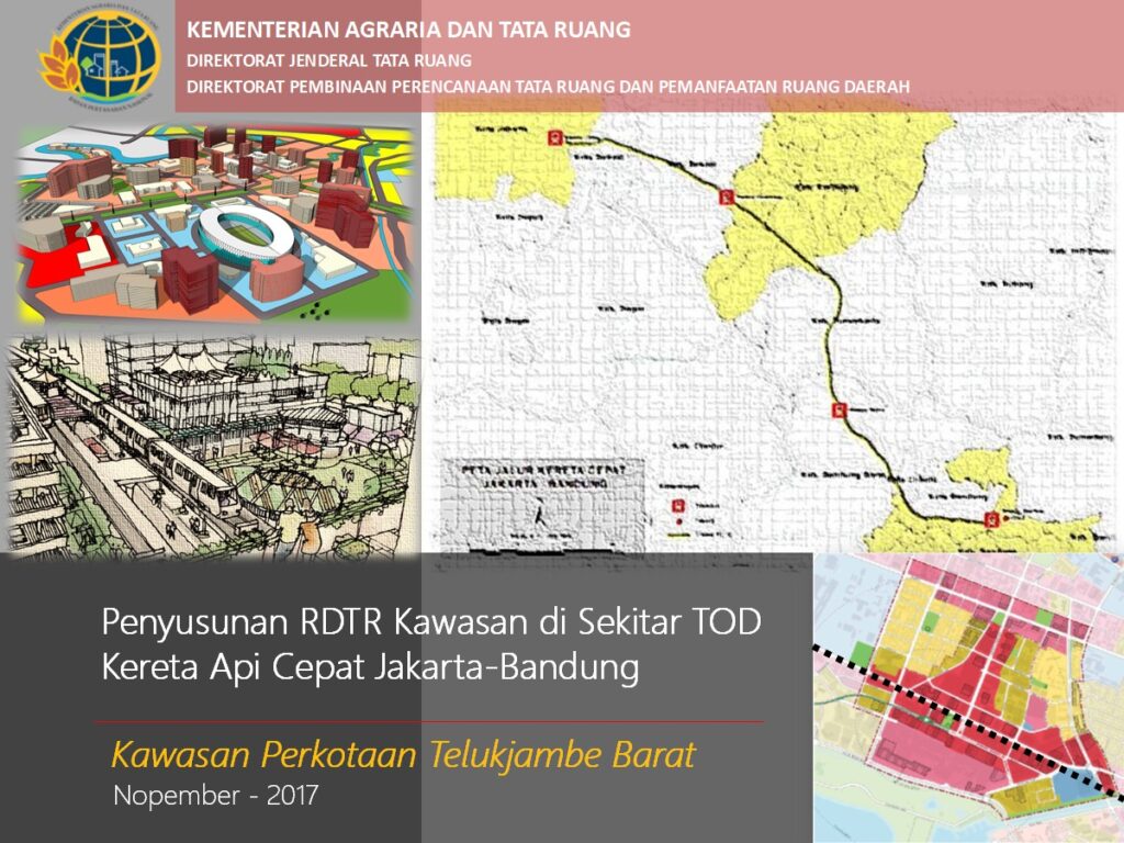
To support the government in preparing RDTR and Zoning Regulations for areas surrounding the Jakarta-Bandung High-Speed Rail TOD zones.
Key Activities Includes:
- Preparation Phase: Set up the workspace (studio), define methodology and work plan; Conduct desk study and prepare for field surveys.
- Initial Coordination: Central-level coordination with local technical teams for BWP (Planning Area) delineation and work planning.
- Base Map Development: Acquire high-resolution satellite imagery; Conduct GCP, ICP, and toponymy surveys; Perform orthorectification, geometric accuracy testing, and digitization.
- Data Collection. Collect primary and secondary data through desk studies and field surveys: For base maps (min. scale 1:5000): satellite imagery, survey results, DEM, and accuracy tests; For thematic maps: administrative boundaries, physiography, demographics, economy, infrastructure, land use, and environmental quality; Institutional and legal framework data.
- Spatial Analysis (per MPWH Regulation No. 20/2011): Analyze regional characteristics: spatial roles, interconnectivity, physical and socio-economic features, disaster vulnerability, and fiscal capacity; Assess development potential and spatial issues: space needs and land use changes; Evaluate environmental and regional performance.
- Coordination with BIG: Consult with the Geospatial Information Agency (BIG) to obtain recommended maps.
- Formulation of Planning Concepts: Define objectives, spatial structure and pattern plans, infrastructure networks, zoning regulations, and prioritized sub-BWP areas for RTBL (Urban Design Guidelines).
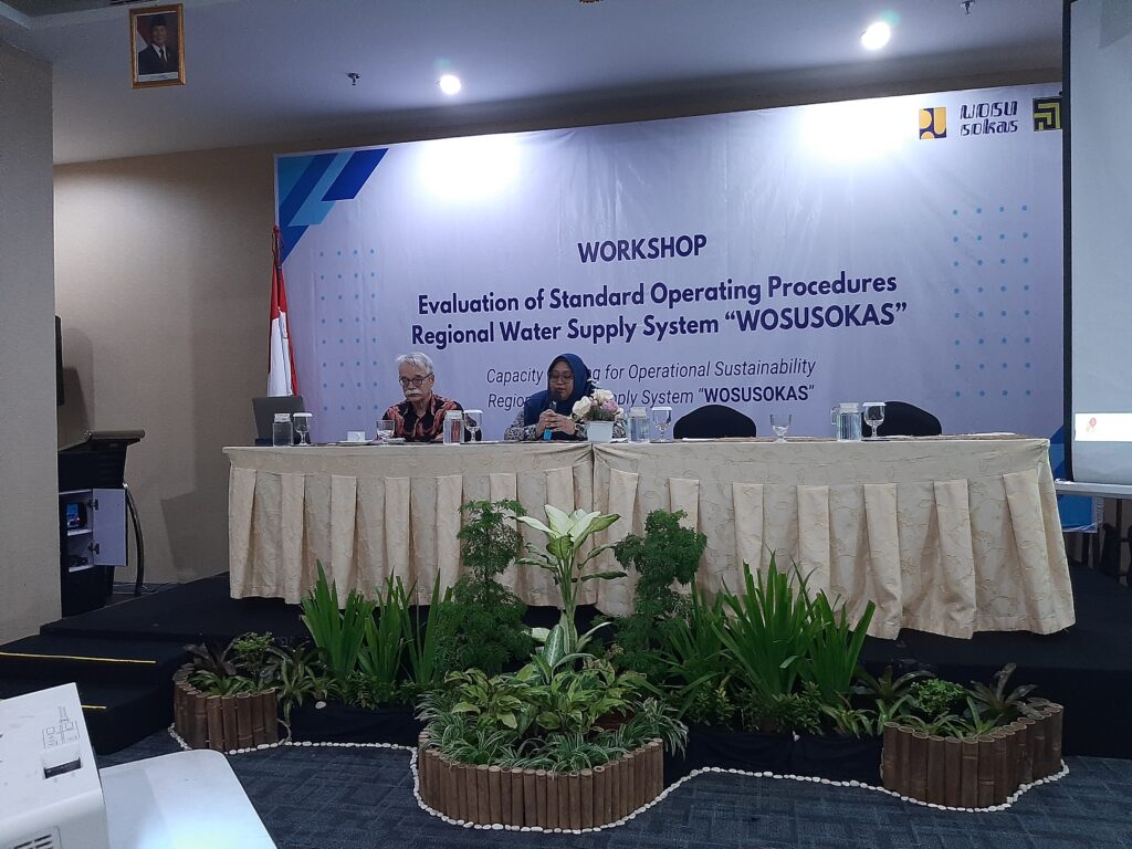
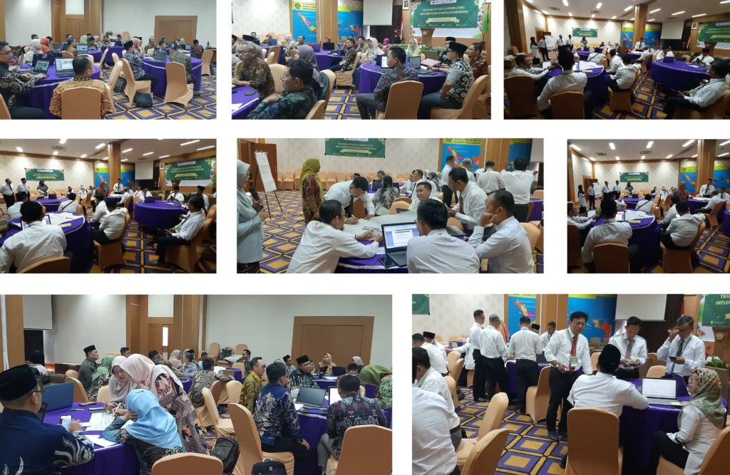
- Stakeholder Engagement: Organize workshops, FGDs, and public consultations; Present and expose RDTR and PZ drafts; Compile a comprehensive report of the entire process.